| Part I | Part II | Part III |
| Trip Totals | |
| Days: | 23 |
| Miles: | 5,229 |
| Ferries: | 8 |
| Time Zone Changes: | 8 |
| Moose: | 13 |
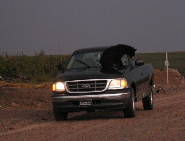
| Black Bears: | 4 |
| Foxes: | 3 |
| Caribou: | 2 |
| Puffins: | 2 (up close) 1,000's (from afar) |
| Whales: | 2 |
| Giant Squid: |
1 (stuffed) 1 (stuffed) |
| Mink, Martens, and such-and-such: | 6 |
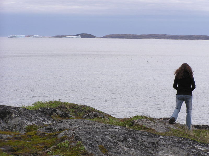
| Icebergs: | ~20 |
| Flat Tires: | 0 |
| Photos Taken: | 1,766 |
| Extremes | |
| Northernmost: | ~N54.25° |
| Farthest (from Boston): | ~1,030 mi |
| Latest Sunset: | 9:49 pm |
| Most Expensive Gas: | US$4.45/gal |
| Coldest (measured): | 42 °F |
| Awkwardest: | almost eating a Quebec family's cheese |
|
| Follow the itinerary to see where we are and have been. Up-to-the-minute (more like up-to-whenever-we-get-internet) updates. |

|
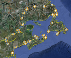
| Detailed map of our route. Scale: 100 pixels ≈ 25 miles. (warning: 7MB image) |
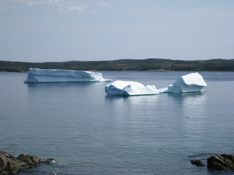
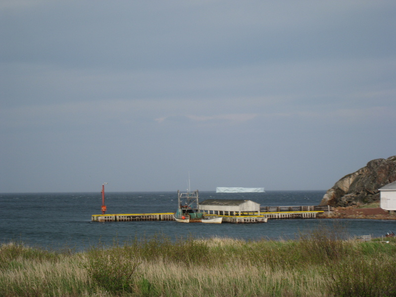
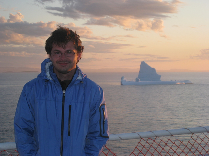
First iceberg! Fuck yeah!!
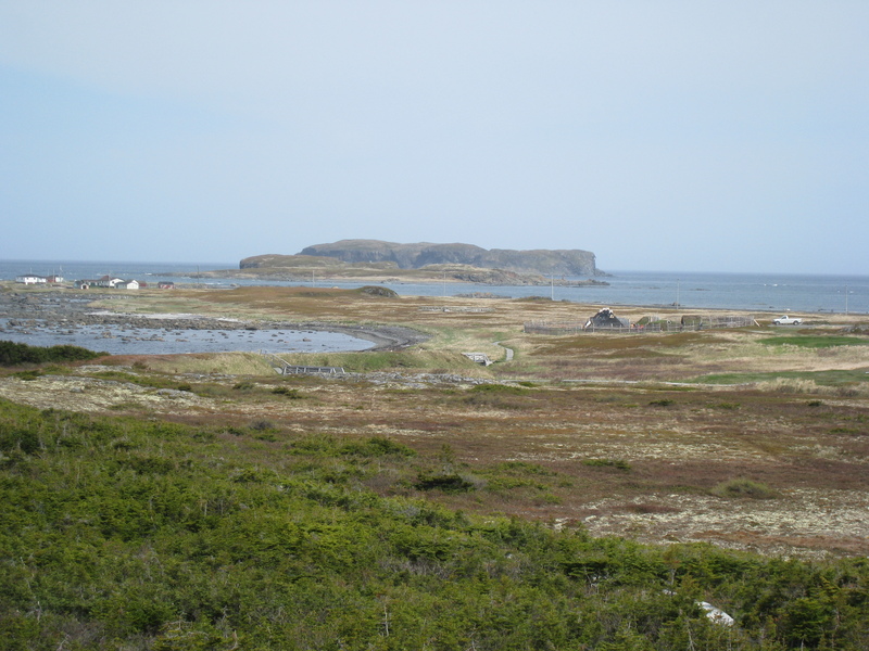
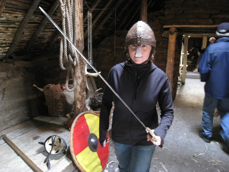
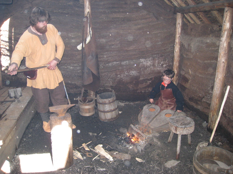
L'anse aux Meadows, site of the only known Viking settlement in North America, circa 1000AD
Baby mink, separated from mama mink
Baby mink crying very very loudly.

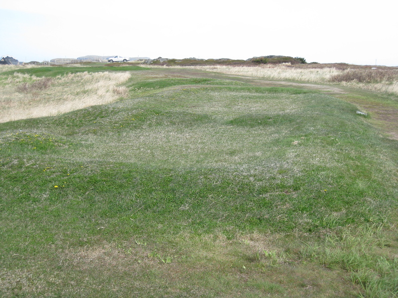
Yes, folks, upon this very foundation lay a sod-house built and occupied by Norse settlers one thousand years ago. Please try to contain yourselves.
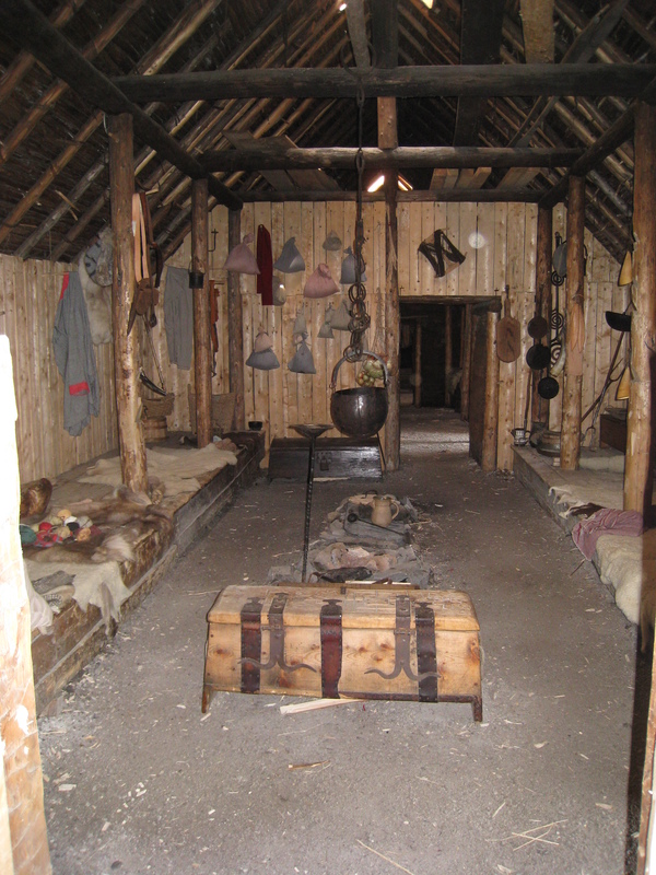
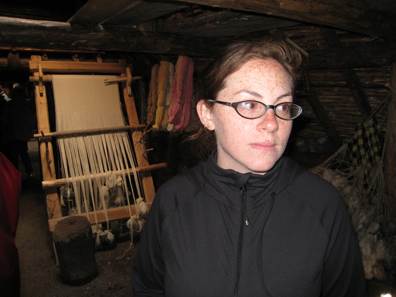
Reconstruction of a Viking house (big and thorough).
You want some!?
Looming
You want some!?
"I would not have done this to you, fox."

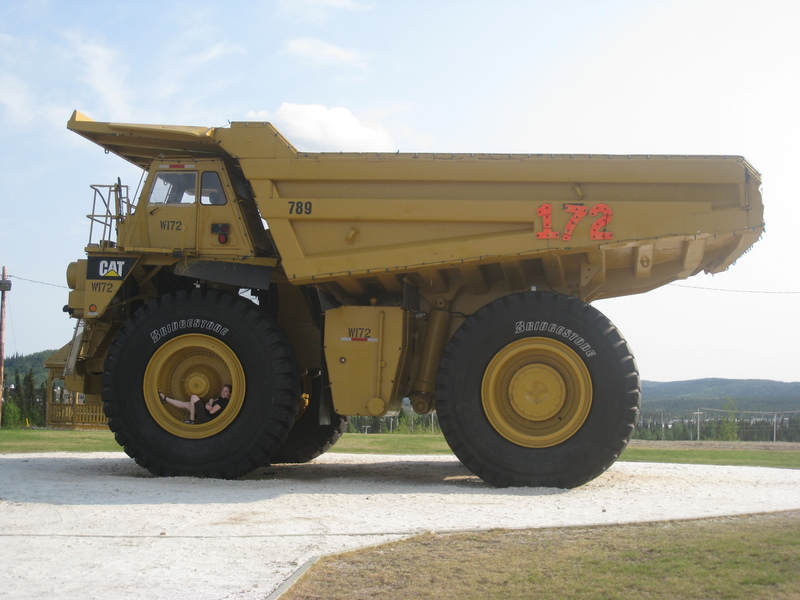
This is how I roll
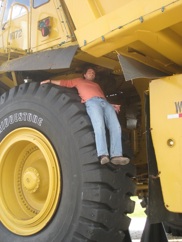
It's a lie.
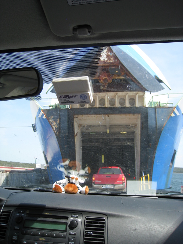
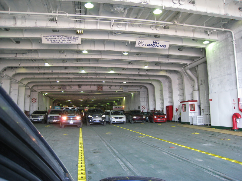
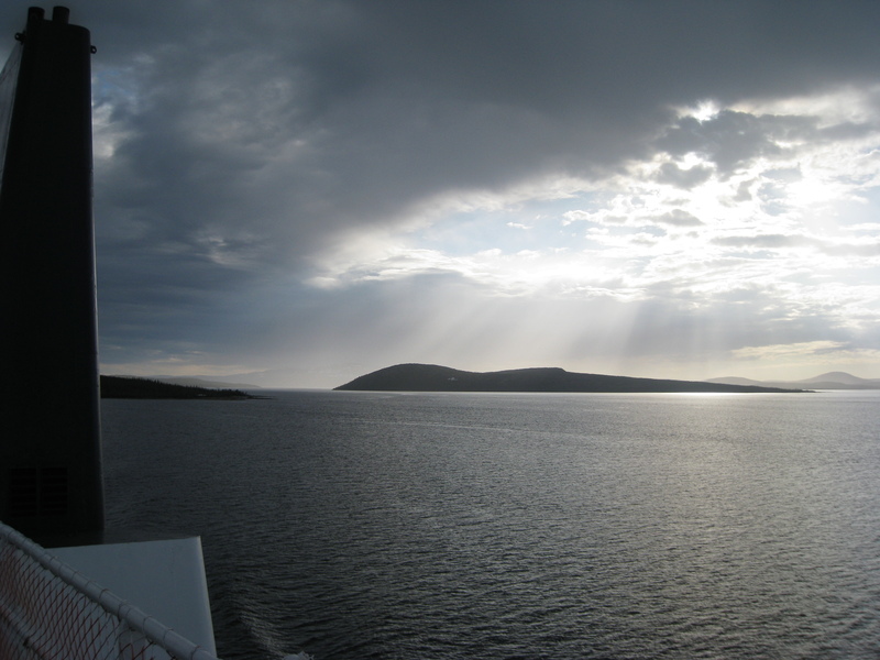
Ferry to Labrador (!), swallowing a truck
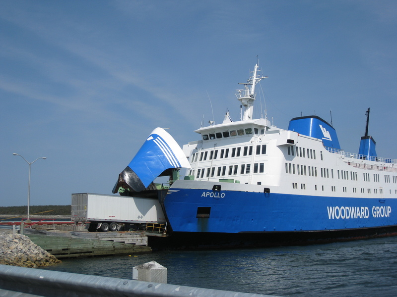
Ferry to Labrador, swallowing us (!!)
First glimpse of (not actually) Labrador
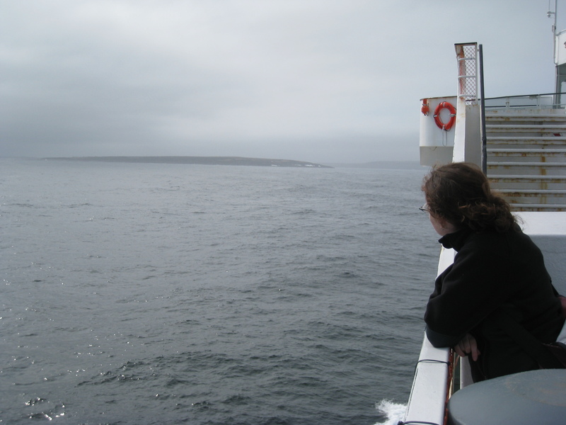
As an aside, this ferry doesn't actually go to Labrador. It goes to Blanc Sablon, a tiny town on the very edge of Quebec, only a few miles from the Labrador border. It is completely cut off from the rest of Quebec. So as if that weren't isolating enough, they also decide to be in a different time zone and not observe daylight savings time, meaning this little scrap of nowhere is 1.5 hours behind its neighbors in both directions (the same time as back in Boston!). Needless to say, I duly switched my clocks anyway, and switched them back ten minutes later.
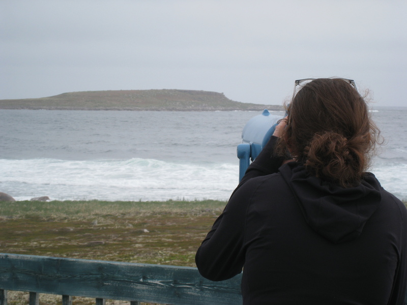
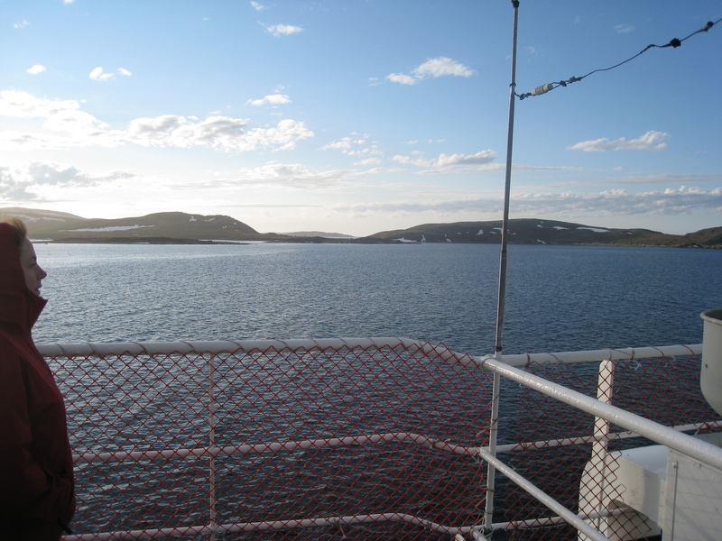
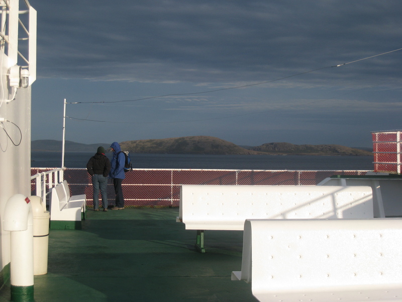
Sighting puffins offshore in Quebec
Wishing I bought binoculars at the L.L.Bean Wonderland.
So close!

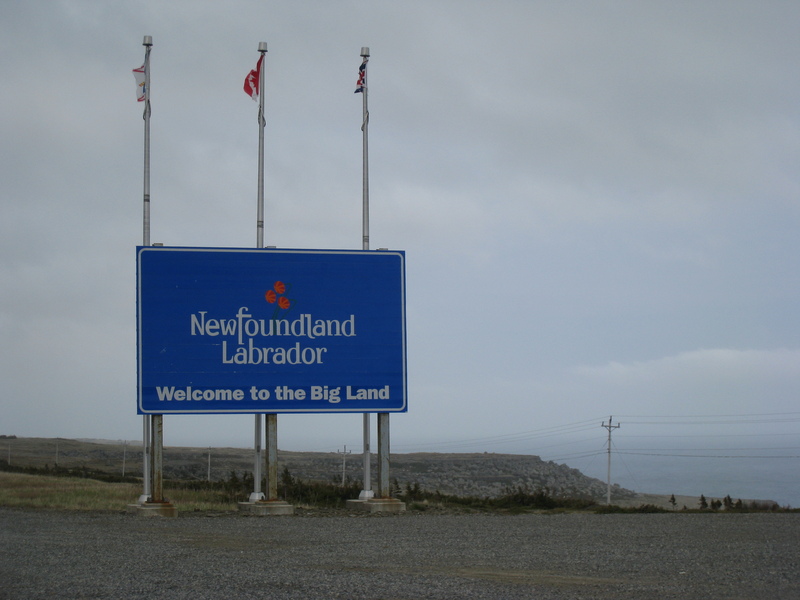
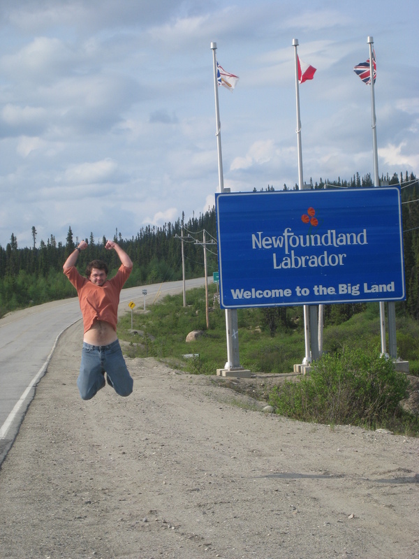
And at last, Labrador!
The noble steed
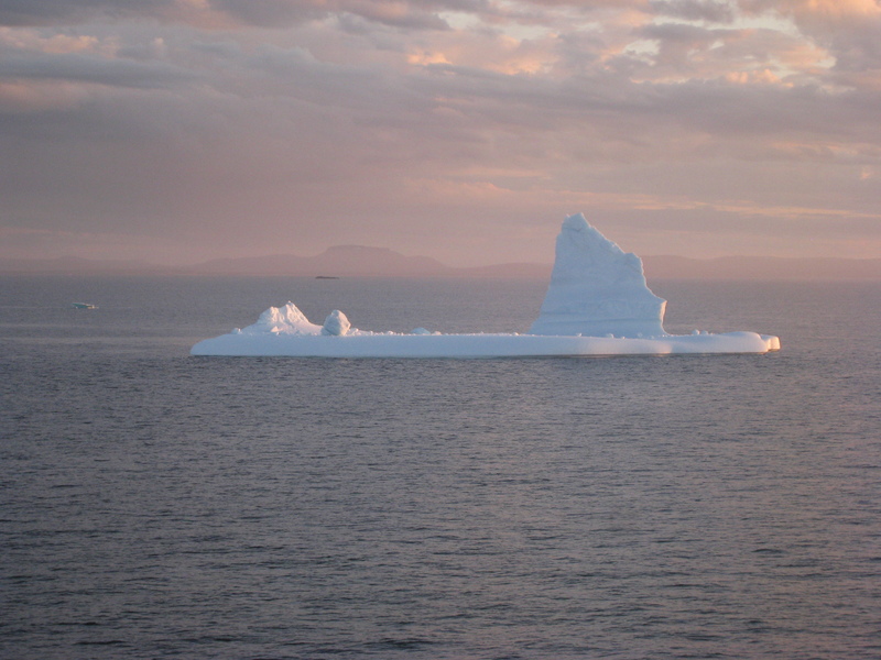
Big berg
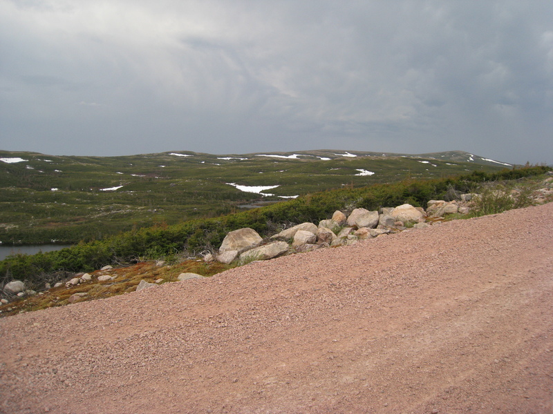
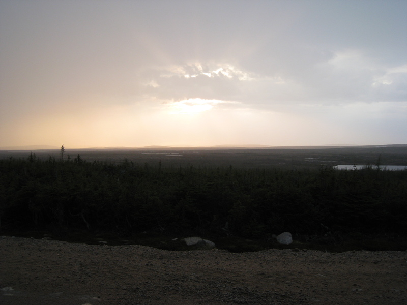
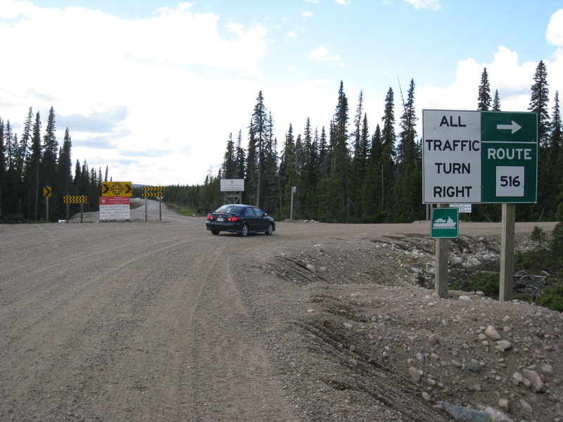
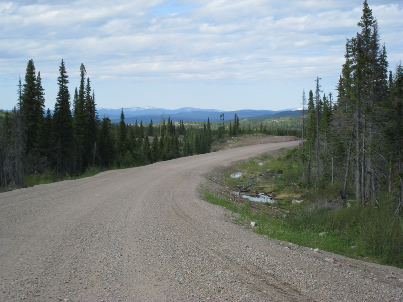
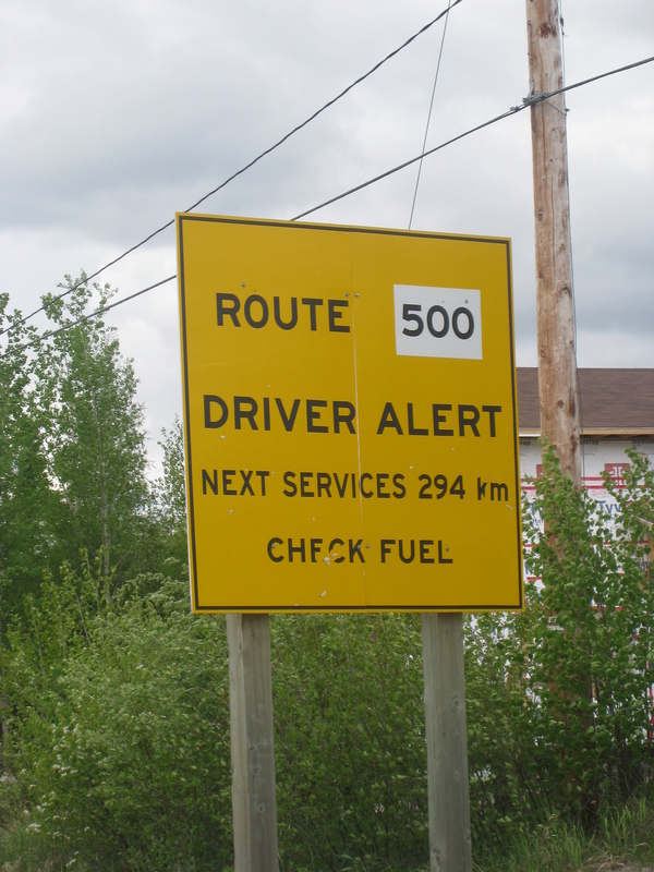
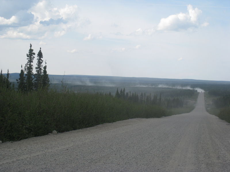
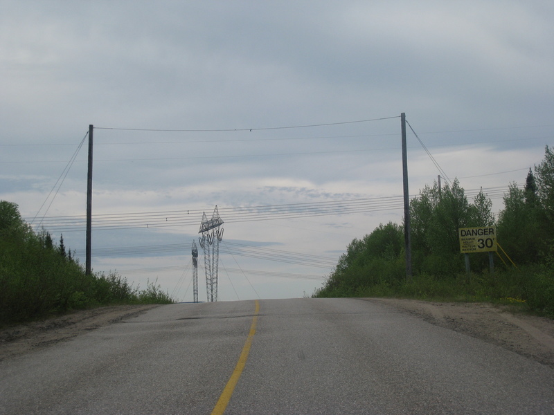
The beginning of the gravel. Almost all of the next 900 miles will be gravel roads.
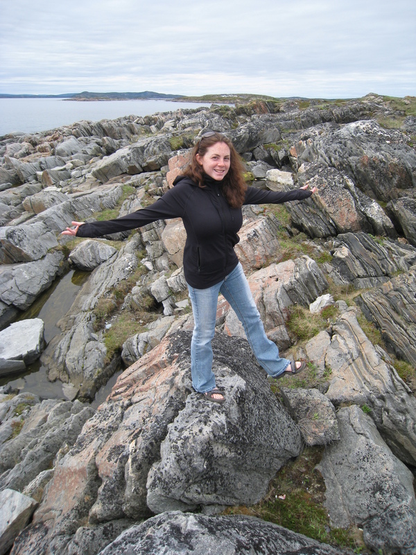
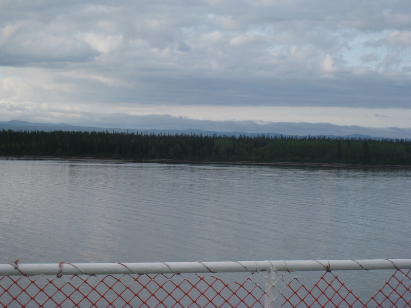
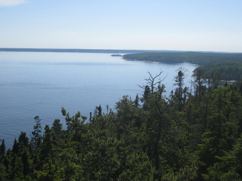
This is what Labrador looks like
What do we have here?
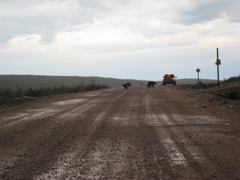
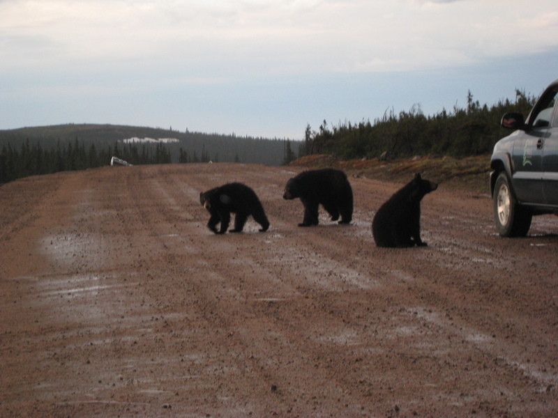
Hi there
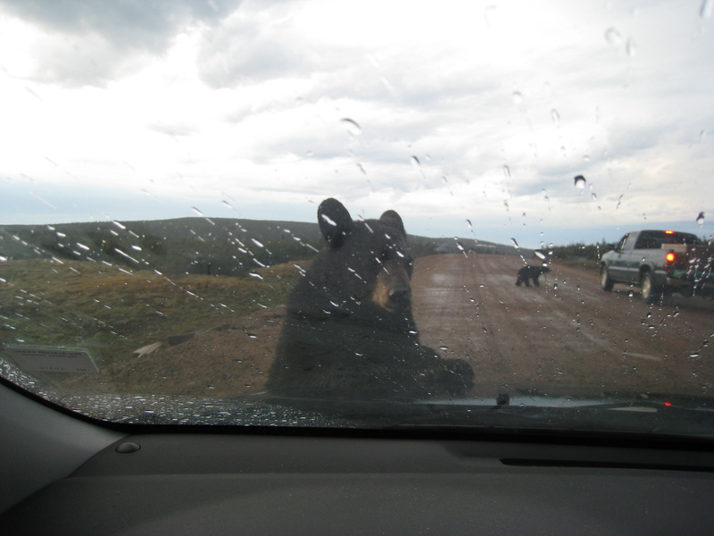
Looks like I got off easy...
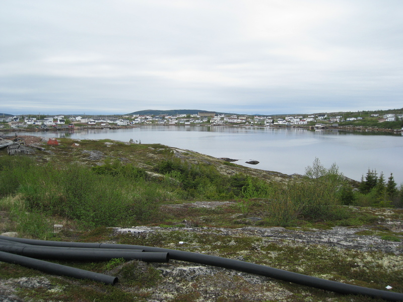
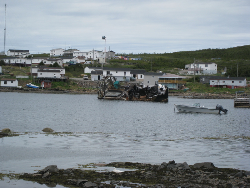
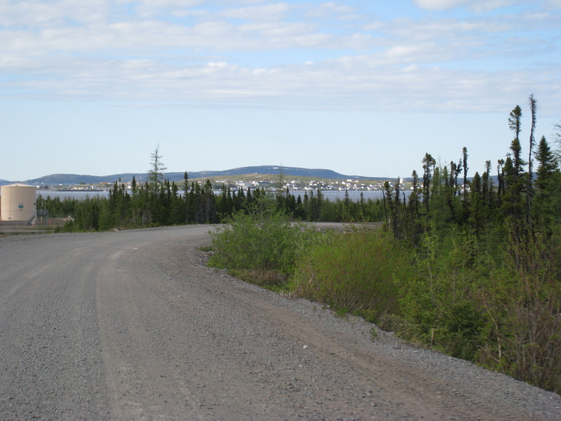
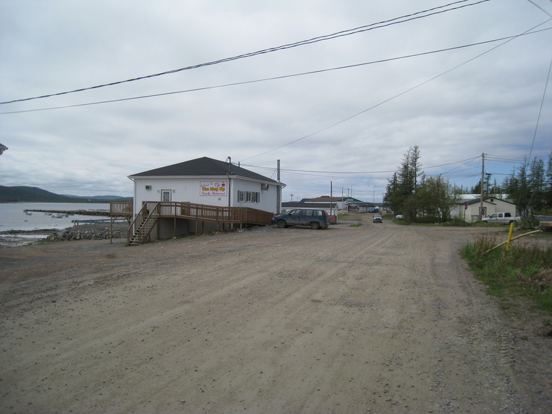
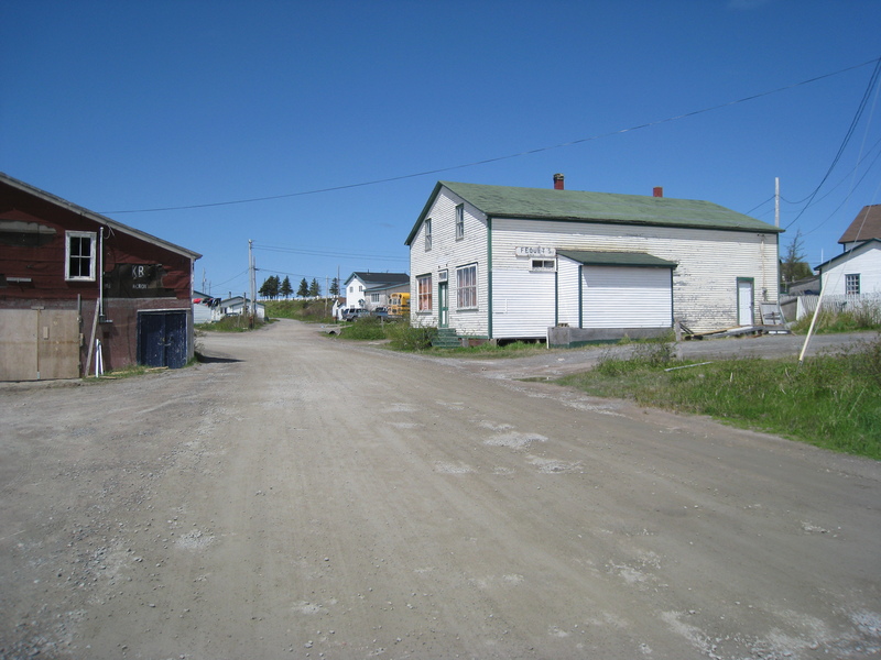
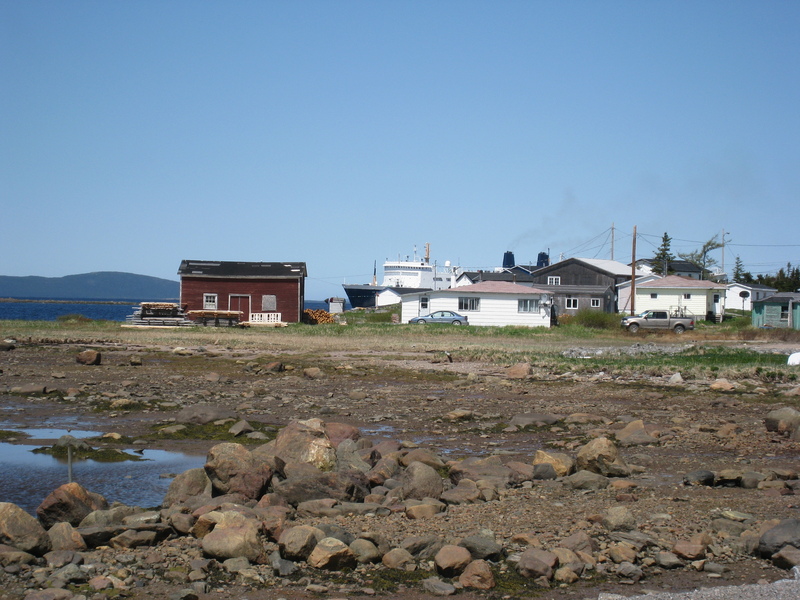
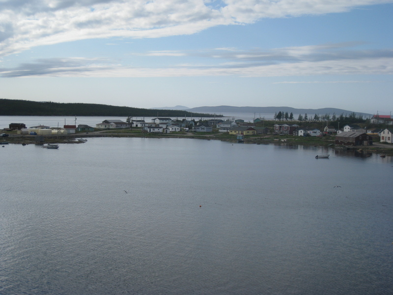
Mary's Harbour (pop. 400), where we spent the night
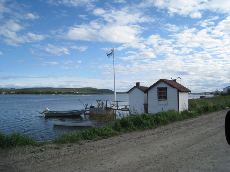
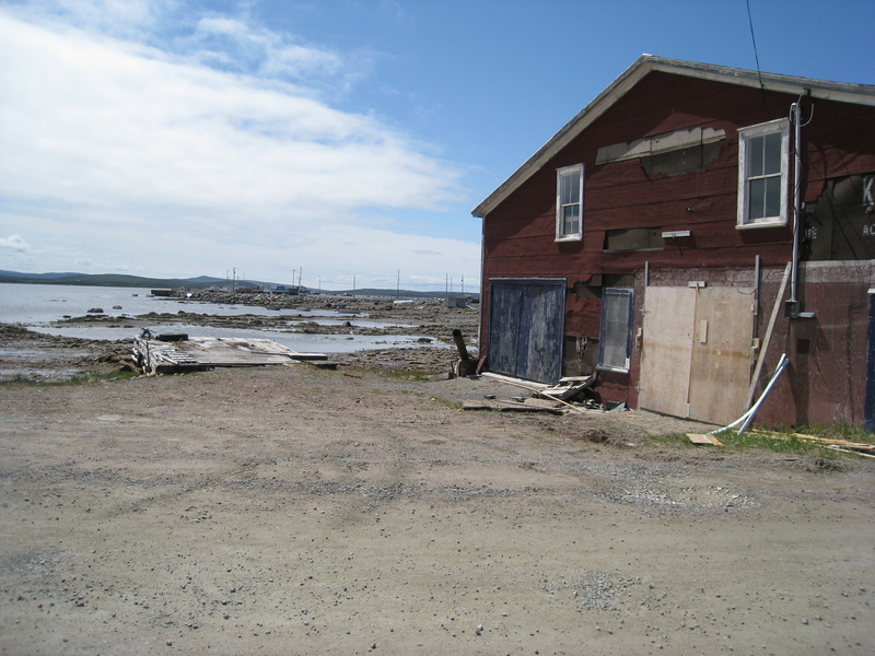
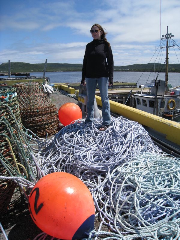
Down at the docks...
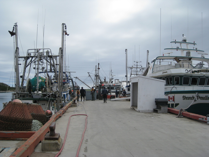
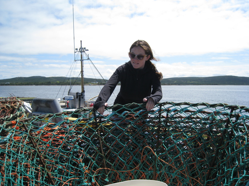
An honest day's work

St. Lewis (pop. 300)
Here branches off the newest (and incomplete) portion of the highway, which will connect the coastal route (which we're currently on) to Goose Bay and the Labrador interior. This will bridge the only remaining gap in the trans-Labrador highway system. Supposedly the road is almost entirely complete. From the small teaser of a stretch visible here, the road looks in great condition, and it's tempting to press onward. But driving 150 miles one-way only to find an uncrossable ditch would be a rude surprise. My oxen would die trying to ford that river, so to speak.
(you can find pictures online of the 'Completion Scheduled' reading '2005', '2006', etc., so would not be surprised to see that '2009' turn into a '2010' or more)
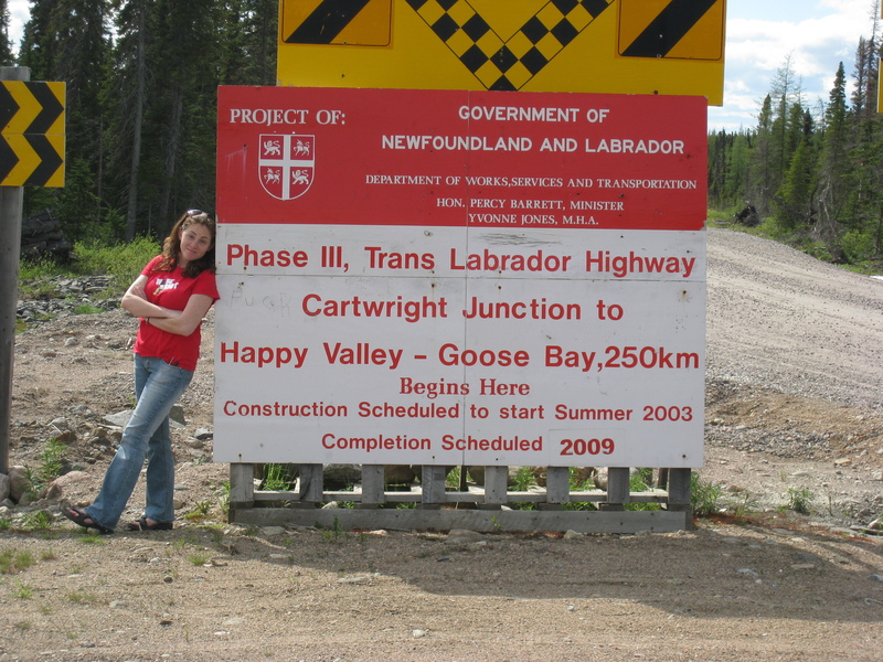
So for now, it's onward to Cartwright, and the ferry. And that's the way I like it.
Mealy mountains in the distance on approach to Cartwright
Cartwright (pop. 650): the end of the road
Beautiful Cartwright...
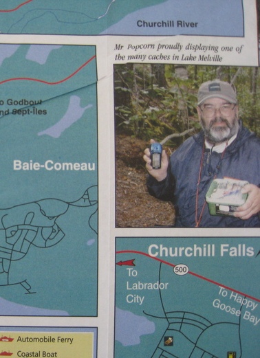
Mr. Popcorn proudly displays one of many geocaches in the Lake Melville area
I tried in vain to convince Drew to relive his geocaching days.
Around Cartwright...
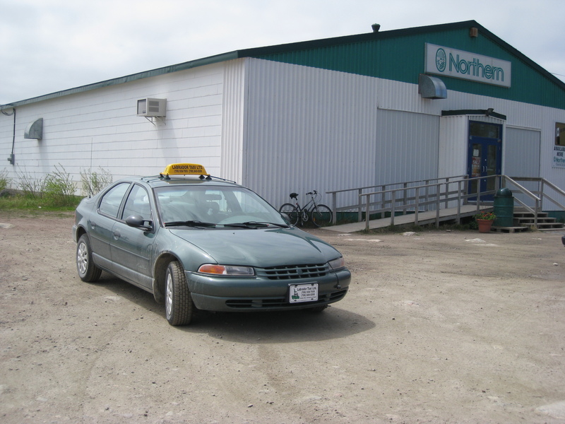
Where could you possibly take a taxi around here?
Answer: One of the two bars in town is 2k from the docks.
Fun fact: the corporation that runs Northern-brand stores (like the one above) is a direct descendant of the original Hudson Bay Company (est. 1670)! Like... whoa...
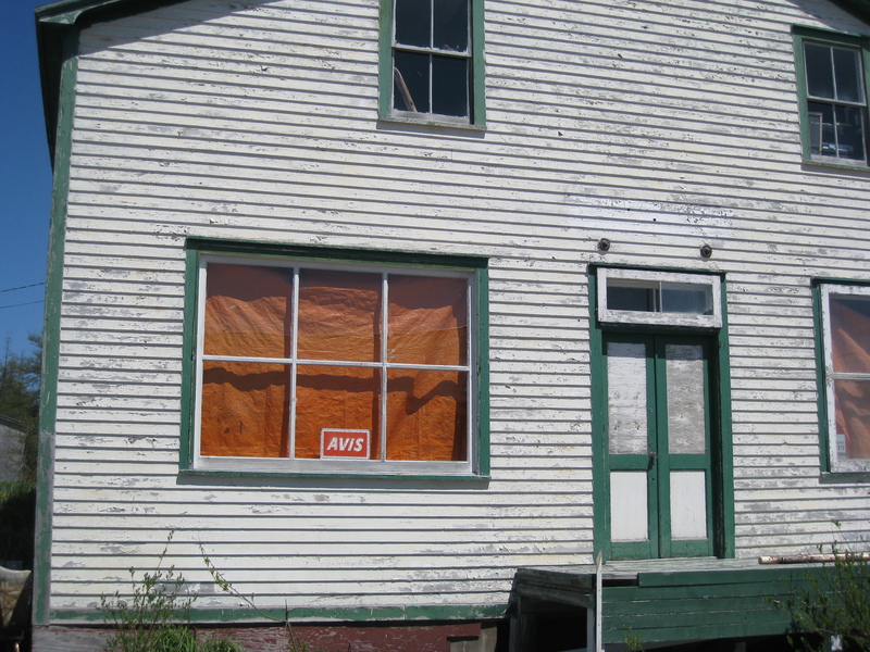
...or a rental car?
Yum!
Another nice slice of Cartwright we forgot to take a picture of: every business in town had a notice on their bulletin board saying "Please be advised that THE DENTIST will be in town next week during the following dates ..."
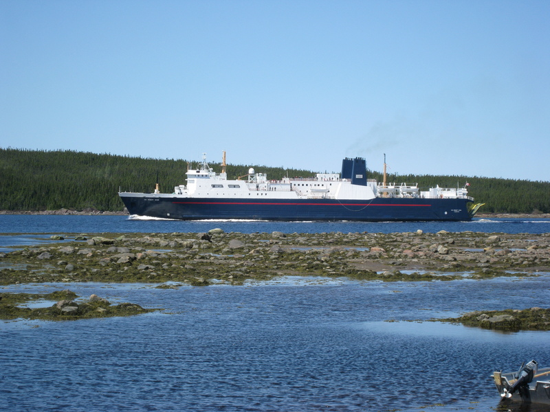
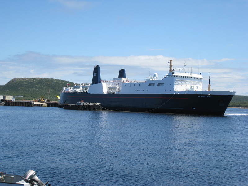
The MV Sir Robert Bond pulling into Cartwright harbor, completing its 24-hour journey from Lewisporte, Newfoundland. It will carry us on to Goose Bay in central Labrador, the other end of the road, from which we will drive back to civilization (so for us, its really the beginning of the road).
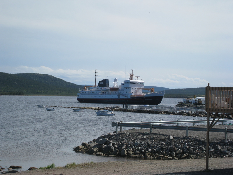
The MV Northern Ranger makes a surprise appearance. This boat services even more northerly communities up the Labrador coast that still don't (and probably never will) have road access. It takes passengers and freight, but no cars.
So you want us to.. back into the ferry?
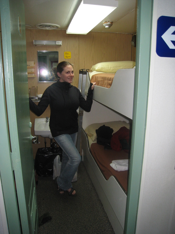
Our luxurious abode
Leaving Cartwright...
Icebergs on the Labrador Sea
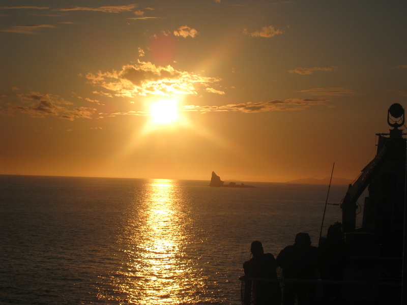
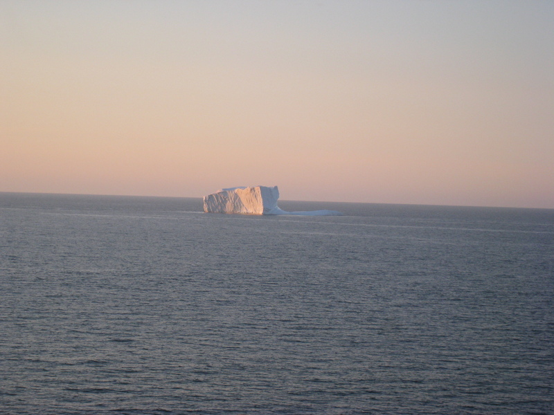
Fun Fact: at the trip's farthest reach, around where these pictures were taken, we were less than 600 miles from Greenland — closer to Greenland than to any point of the United States
The next morning on Lake Melville, pulling into Goose Bay
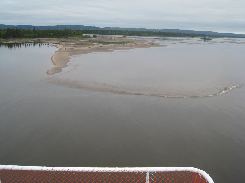
Grade-A dredging job. It's a little disconcerting to be on a huge boat and see mud flats less than a boat-width's away on either side
Every town in the interior exists for a reason. Goose Bay was a massive airbase during WWII, and is now used for low-level flight training for all of NATO, due to its relative isolation. This sign is in English, French, Innu, and Inuktitut.
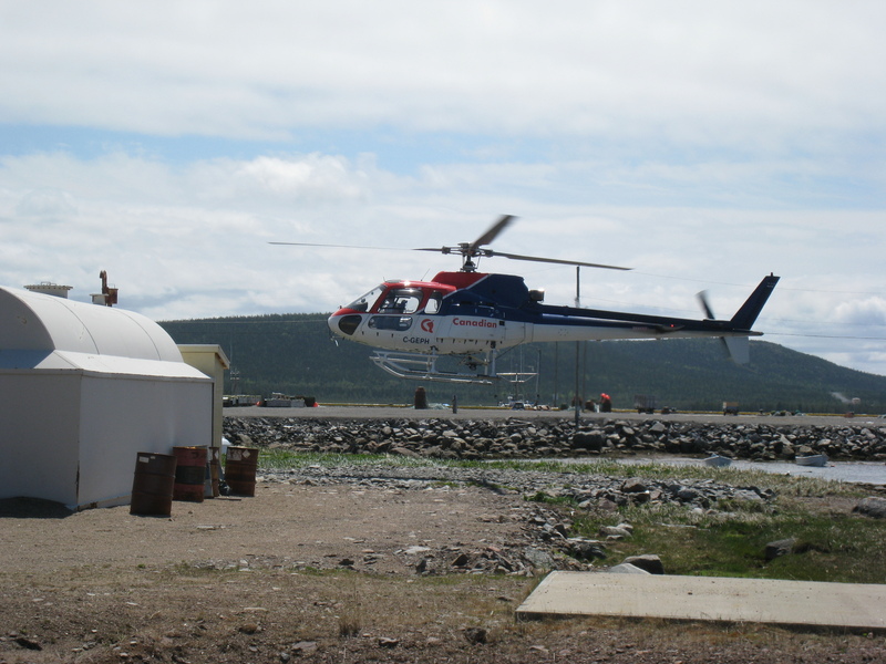
Yet it still did not help Drew spot the low flying aircraft that approached us.

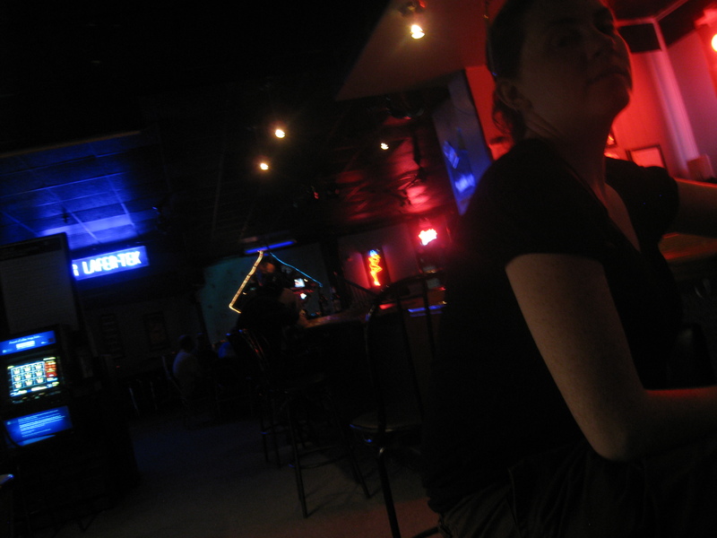
The finest clubbing experience for 800 miles (note: I would later stand corrected; see Club Lafer-Tek)
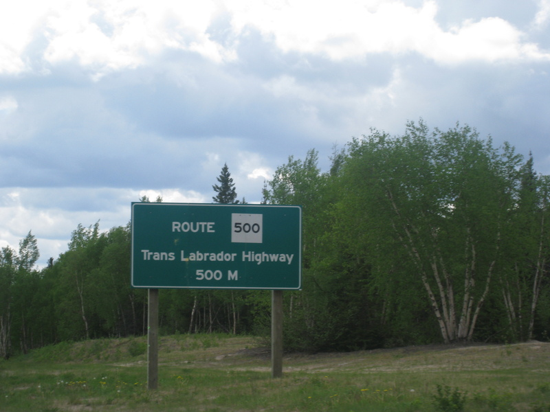
And at last, the start of the Trans-Labrador highway proper
On the trans-lab...


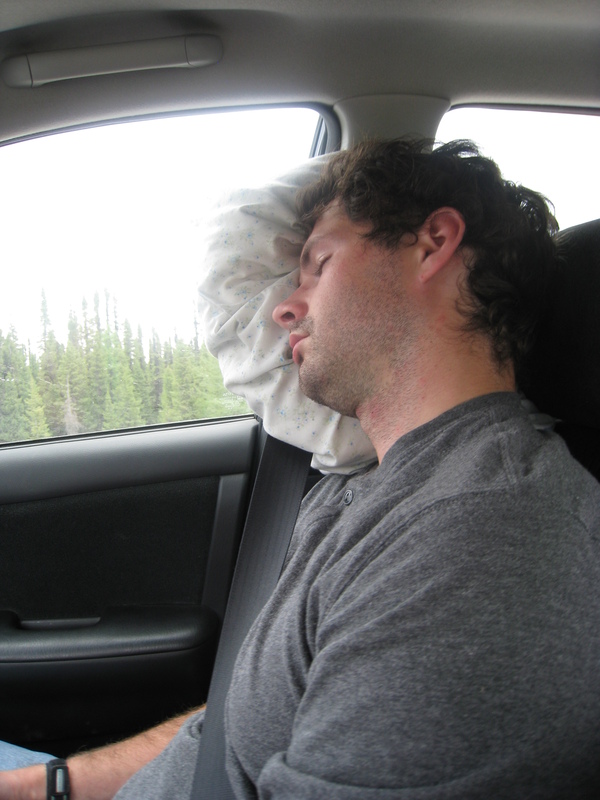
So very very tired...
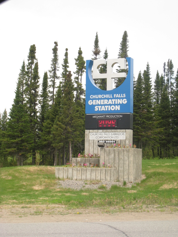
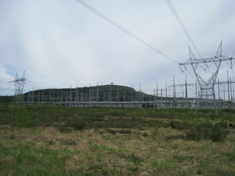
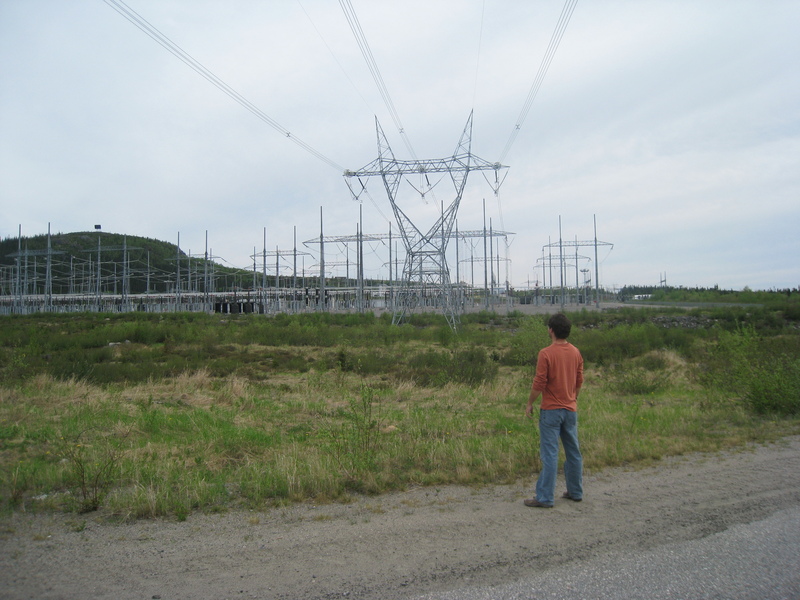
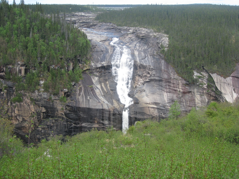
The next town, Churchill Falls, 190 miles later
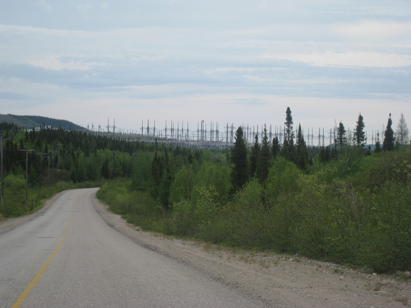
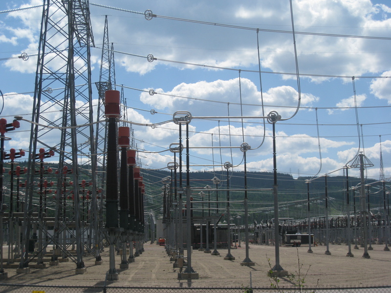
Churchill Falls is home to Churchill Falls Generating Station, a massive hydroelectric plant through which the actual Churchill Falls — a waterfall once on par with Niagara — is now entirely diverted.
Authoritative lists are hard to find, but Churchill Falls achieves the following superlatives:
Hard to read due to short exposure, but it says that at this very instant the plant is producing 3,096 megawatts of power. Enough to power over 2 million homes. Its maximum capacity is 5.4 gigawatts (7.3 million horsepower). Total human power consumption world-wide is approximately 16,000 gigawatts.
and they offer free tours! But... but... it was . Closed for a 'company-only' holiday, no less, on the very day we showed up. Talk about bad luck. Despite impassioned pleas on two separate occasions, with lots of pathetic-sounding 'all the way from Boston' statements, we were not able to finagle a tour.
Since I cannot provide you, dear reader, with a first-hand account, I'll have you know the inside of the plant looks like this. Apparently the floor is so clean you can eat off it.

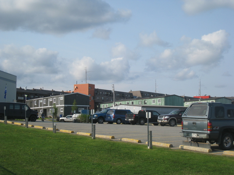
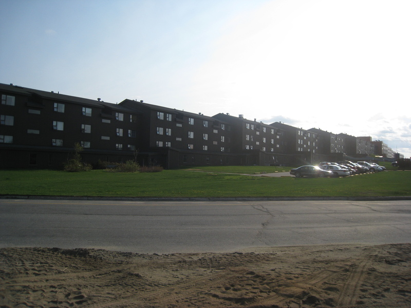
The entire (small) town of Churchill Falls exists to support the plant, and the vibe is creepy
Little boxes, little boxes, little boxes all the same...
They are all made out of ticky tacky and they all look just the same.
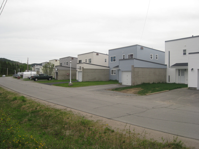
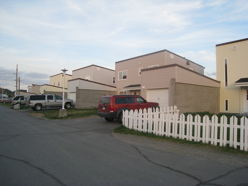
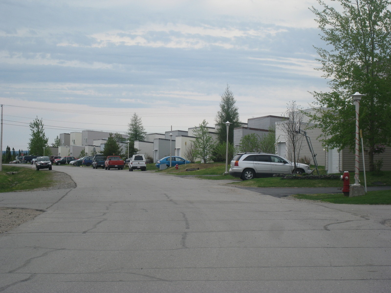
(was even creepier when we first arrived and everyone was still off at work and driveways empty)
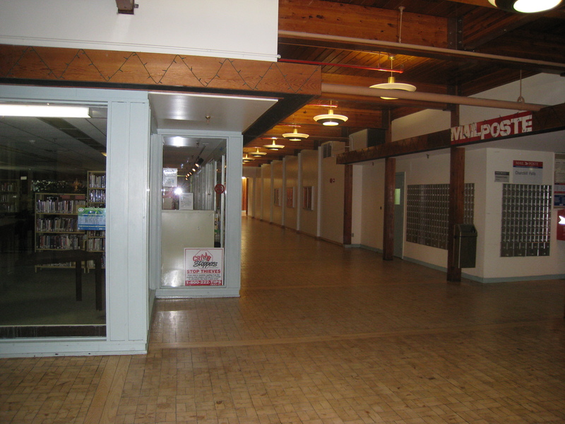
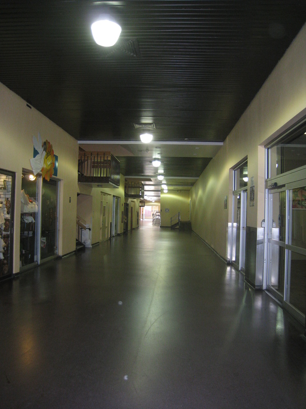
Town Centre (though I will refer to it more colorfully as the Hive) is the town's only hotel, restaurant, grocery store, library, bank, post office, school, theater, pool, and fitness center. (place of worship and government office in separate buildings)
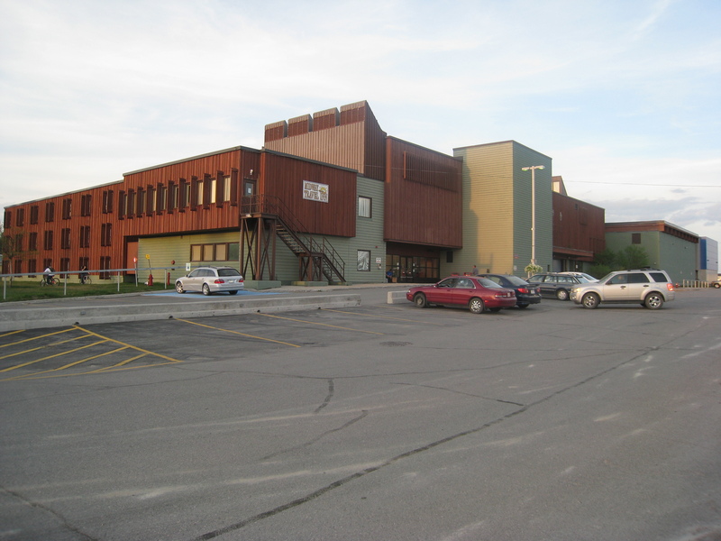
Foyer of the Hive
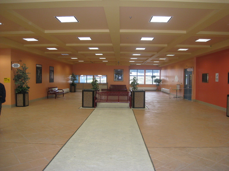
Library to the left, post office to the right, school and gym down the hall. Everywhere you went in the building, you were surrounded by the ever-present sound of ventilation
Ventilation that I was oblivious to until Drew's agitation became palpable.
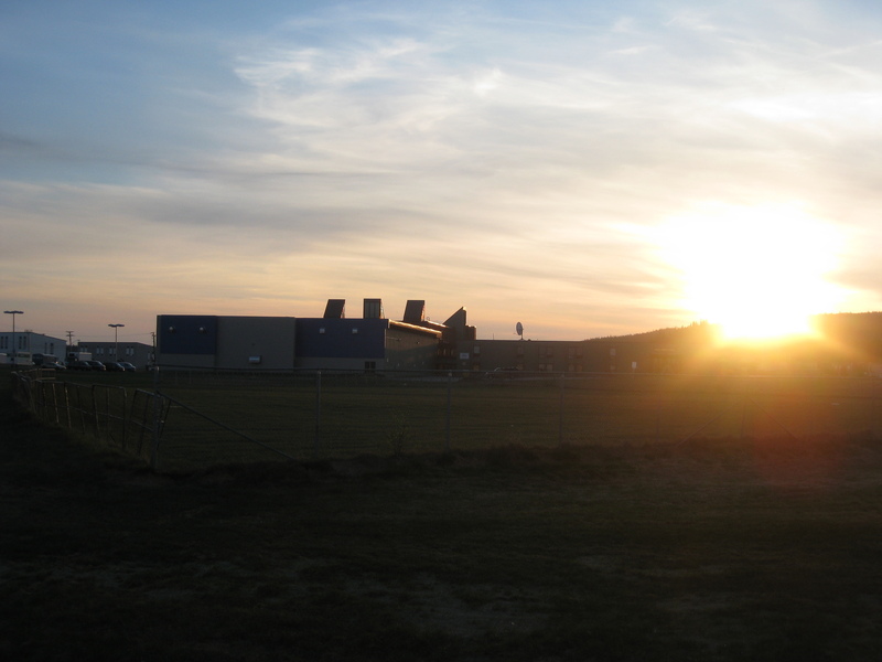
Hive in the distance. Note ventilation towers. Today was also the longest day of the year; the sun rose at 4:46am and set at 9:49pm (photo taken at 9:13)
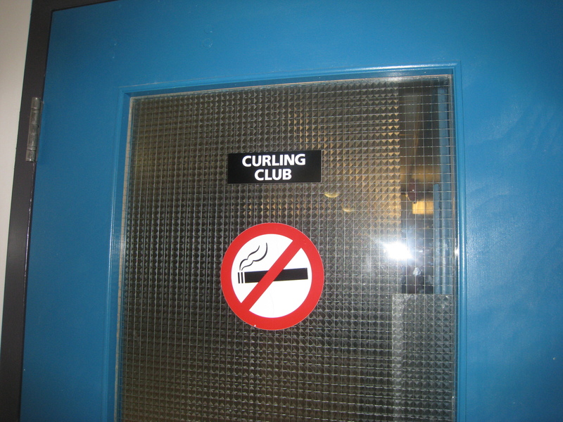
YES
We also watched a movie called Men with Brooms on this, the sole night we turned on the television. If you love curling, which you do, check it out.
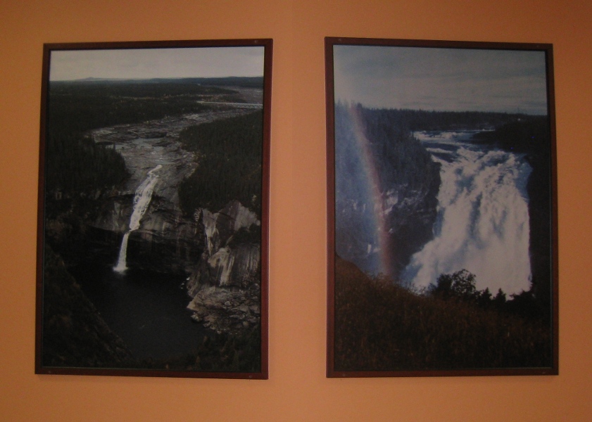
Before and after of Churchill Falls (that's a 245 ft drop!)
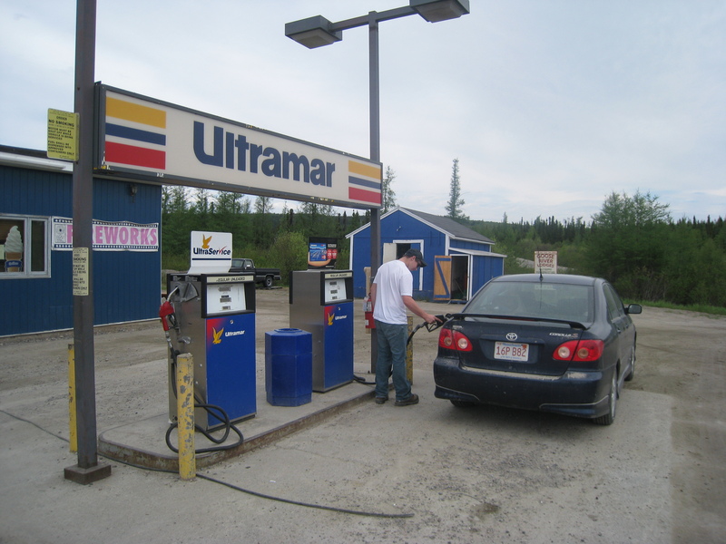
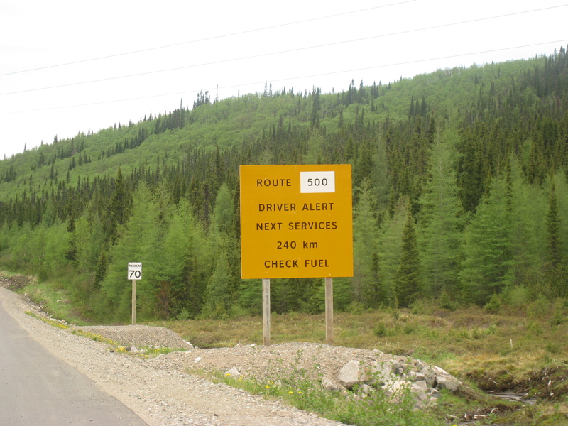
Required fill-up. This is the only gas station on the 340-mile stretch between Goose Bay and Labrador City. My car could probably make it the whole way on one tank, but it would be cutting it very close.
Car's getting a little dirty...
zzzzzzzzzzzzzzzzzzzzzZAP
By the way, joyriding around in your cherry-picker? Bad idea.
Powerplant was still going strong, btw, so not everyone had the day off.
and onward...
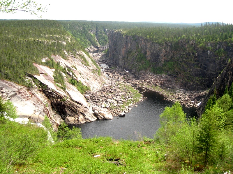
All that remains of the once-mighty Churchill Falls
(falls on left)
Don't worry; I'll wait
Don't mind me!
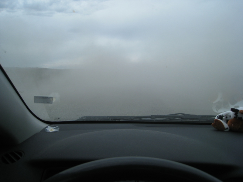
White-out!
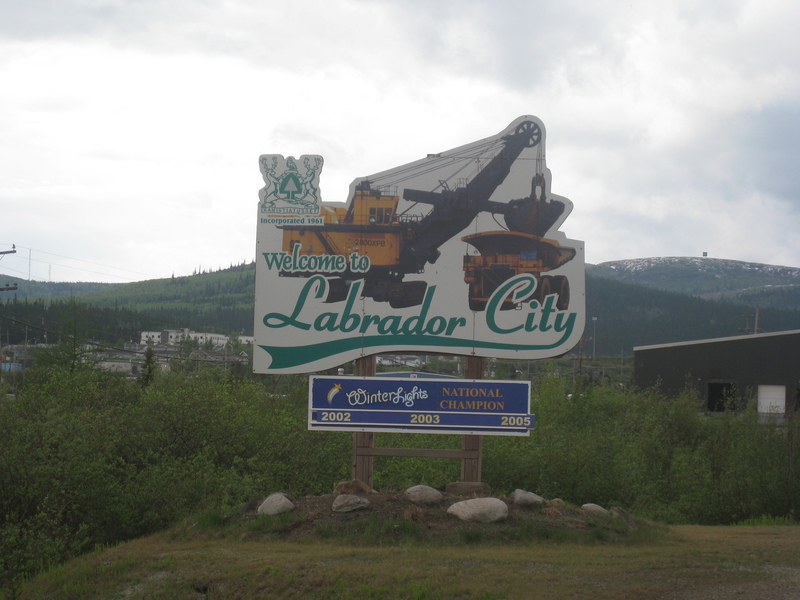
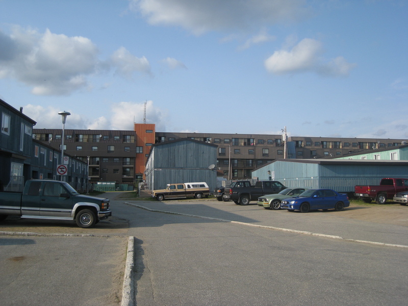
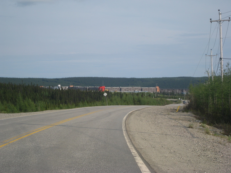
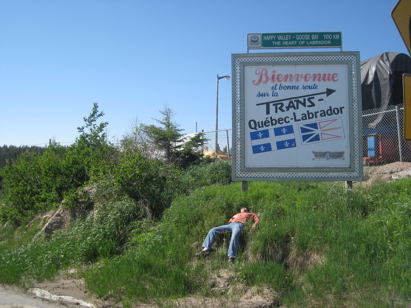
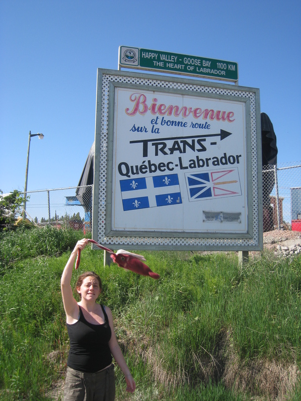
Labrador City: welcoming travellers with class since 1966
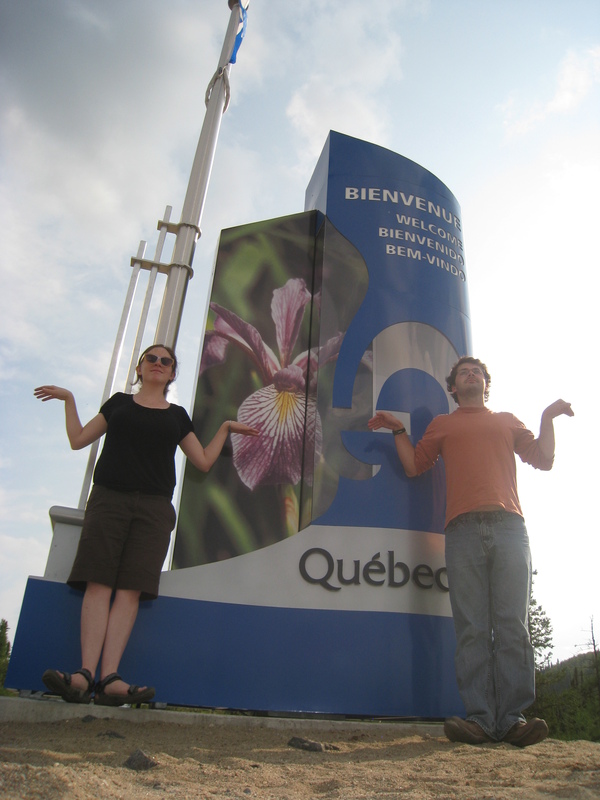
We determined that Quebec did not welcome us with sufficient class, so we had to provide our own. We are 'fleur-de-lis'-ing
This technically concludes the trans-Labrador highway. Still another 350 miles of desolation before we're back in civilization, though. After our first stop in the mining town of Fermont (literally 'Iron Mountain'), just a few miles over the border, there's no real town to speak of until Baie Comeau, on the shore of the St. Lawrence river
Did I mention Fermont is a mining town?
"Nice piece of roadkill ya got there"
Fermont's main attraction is The Wall. Wikipedia describes it best:
The town is notable for the huge self-contained structure known as Le Mur ("The Wall"), containing apartments, stores, schools, bars, a hotel, restaurants, a supermarket, swimming pool, skating rink, bowling alleys, hospital, and police department, and which shelters the rest of the community to its leeward side by acting as a windbreak. The structure was designed to permit residents (other than mine workers) to never leave the building during the long winter, which usually lasts about seven months. The building measures 1.3 kilometres (4,300 ft) long and stands 50 metres (160 ft) high.(that height figure is grossly inaccurate, btw; most of the Wall is four storeys, and maaaaybe the highest part (the hotel) reaches 50m)
It also contains, as we inadvertently discovered, a strip club
Trying to fathom how a strip club can exist in a town this small... just... what?
The Wall is everywhere; it is all around us...
When you go to work...

When you go to church...
When you pay your taxes...
The Wall is divided into four sectors, each identified by a different animal icon: moose, bear, rabbit, and squirrel.
A glimpse from inside the wall. A true taste of the future when we all live in hermetically-sealed bubble cities.
Bye-bye wall. And if you're ever in town looking for the strip club: Bear sector, Level 1, Pod 17
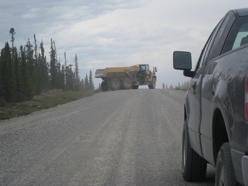
Not far beyond Fermont is the Mount Wright mine, Fermont's raison d'être. To the left, a hillside of exposed rock as far as the eye can see, being carved away slice by slice. One of the trucks pictured above crawls up it like an ant. To the right, a desert of effluvia. It all had a distinct feel of 'industrial wasteland'.
Past Mount Wright, the road winds like the snake for the next 40 miles. More or less following the rail line from the mine, its serpentine path crosses the tracks what feels like about fifteen different times.
Then, out of nowhere, the road becomes paved for the next 60 miles to the ghost town of Gagnon, where we slept.
The abandoned (more like erased) town of Gagnon. I expected to find an empty grid of streets to explore (as shown here), but everything but the main road has been filled in and is now overgrown. You can still see the intersections and curbs, though (check out where the driveways used to be).
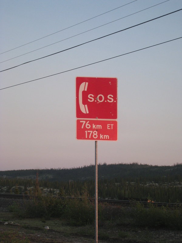
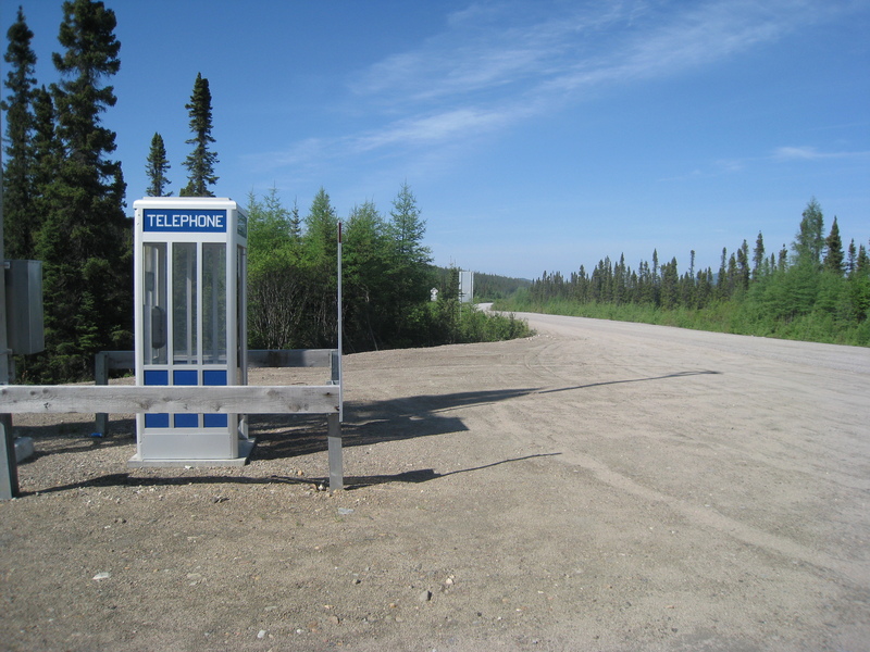
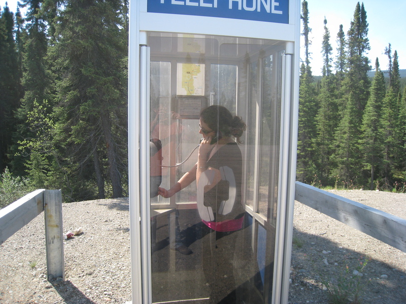
Emergency phone! Imagine our giddiness to discover it would be an actual phone booth. Perhaps the phone booth doubles as 'shelter'? Nevertheless, solar-powered, satellite-uplinked phone booths will always hold a dear place in my heart.
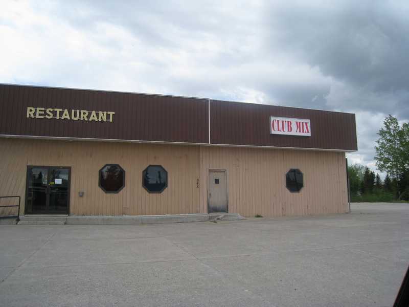
"How do I get to Club Mix?"
What is that up ahead? A town? A massive industrial establishment??
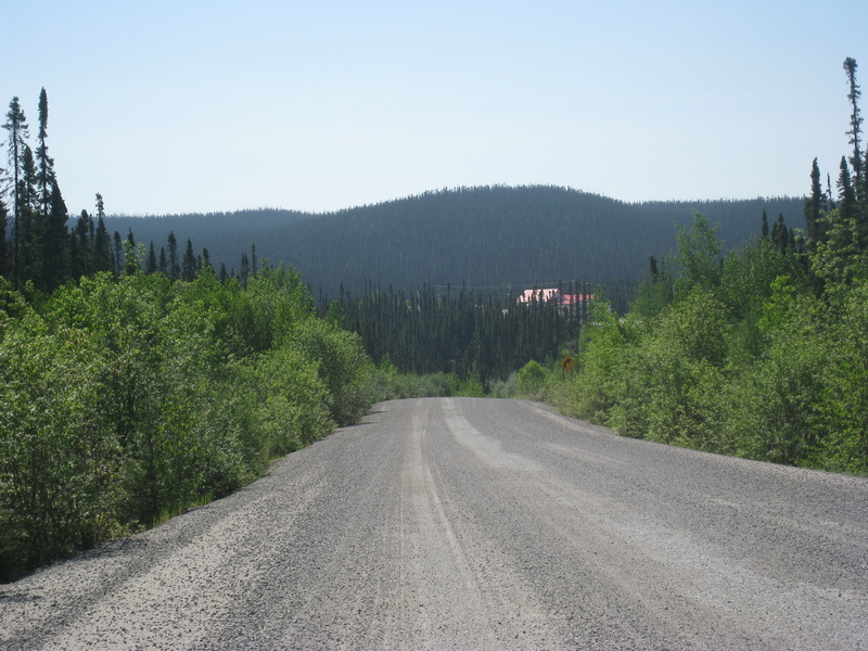
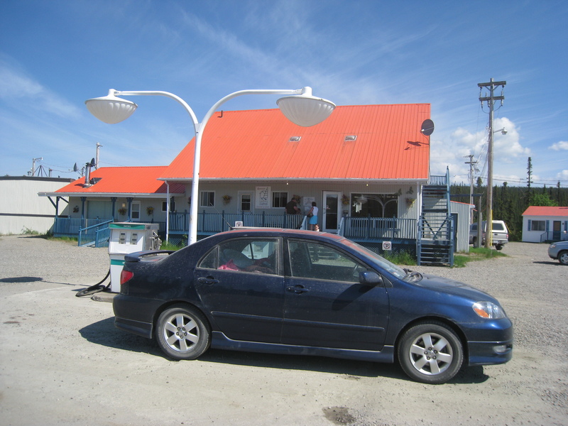
No, it's Relais Gabriel, little more than a gas station more than 150 miles from the nearest town. (This fill-up is not quite as required as the other one, in that there is another station at the dam 60 miles down the road, but you must use either one or the other).
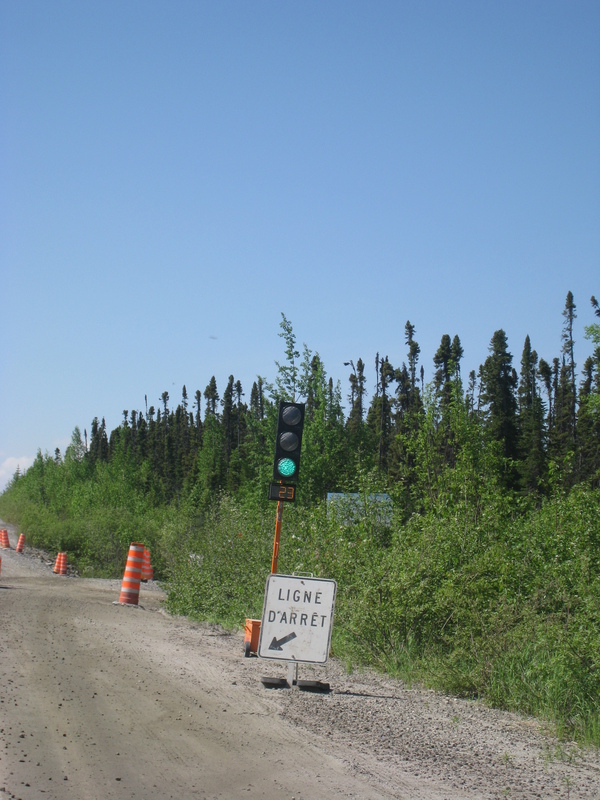
Temporary stoplights for construction
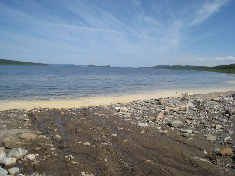
On the shore of the Manicouagan Reservoir. Not quite as cool when you can't appreciate the full ring shape.
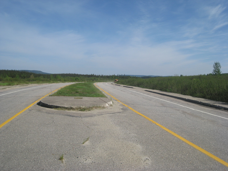
What I thought to be the final end of the gravel, but it was just a tease; the road reverted to gravel a few miles later.
Another false end of the gravel. This happened several more times, including the curious situation of the opposing lane being pavement with my lane being gravel, so I pretty much gave up. Pavement or not, that sign isn't very reassuring.
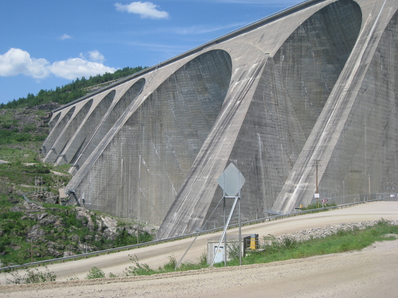
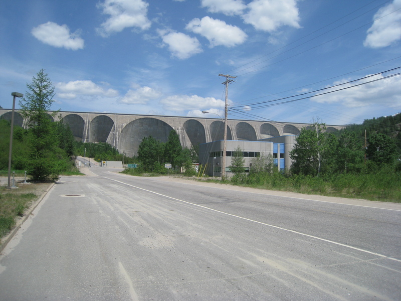
Manic-5 hydroelectric dam
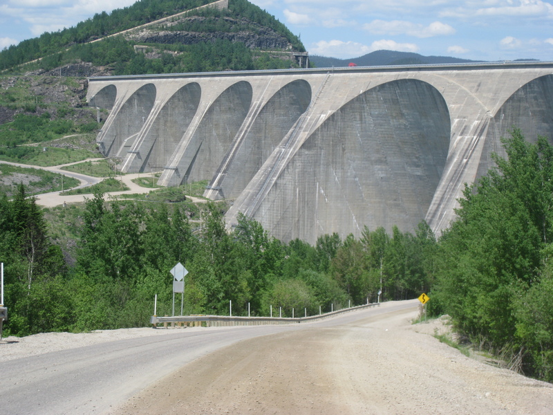
I bet you can guess how this story goes... this one was closed too! Not just closed, but their summer tour season started the very next day.
Me in the yellow box
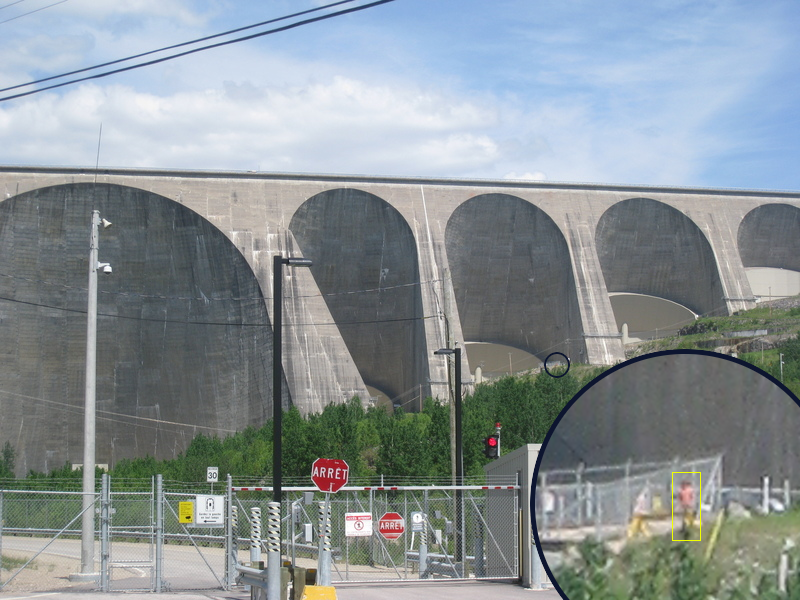
zap
And at last, the end of the trans-Labrador route! Baie Comeau, Quebec!
I was hoping to descend out of the mountains and wilderness into the shining waters of the St. Lawrence, but instead was greeted with this:
With some difficulty and trudging through rich people's backyards, we found this, the St. Lawrence river
There's no Canada like French Canada/ It's the best Canada in the land...
Sorry Baie Comeau, but you're kind of a shit-hole.
(dealing with traffic again at this point was also a major shock)
Le Môtel